The Silver Route

Have a good way!
Why choosing the Silver Route?
La Vía de la Plata is a well signposted route, where the yellow arrows stand out for their abundance, which we would be grateful not to get lost in the extensive Andalusian and Extremadura domains. In this community there are also small blocks of granite with tiles of different colours; if the tile is yellow, these indicate that the road is transitable although not concordant with the original road, while if the mark is green, these indicate the original layout of the Roman route, not entirely concordant with the Jacobean. For that reason, we must pay attention that the blocks contain either a yellow tile or green and yellow at the same time, being this way the same layout that the yellow arrows indicate to take us in direction to Compostela.
More than 700 kilometres separate Seville from Astorga, which we must add to the alternative chosen to enter Galicia. Along this route we will leave behind millenary cities such as Seville itself, Merida or historic Salamanca. In addition to a particularly hard road in times of high temperatures to travel for many stretches in areas without any shade. Ahead, a historical road with numerous heritage and cultural treasures that make this Way one of the alternatives that every year attracts more followers.
36 Stages / 970 Kms
Stages of the Silver Route on Foot
Two alternatives to continue:
16 Stages / 960 Kms
Stages of the Silver Route by Bike
You will like this way, if you like…
Cities and towns

Sevilla
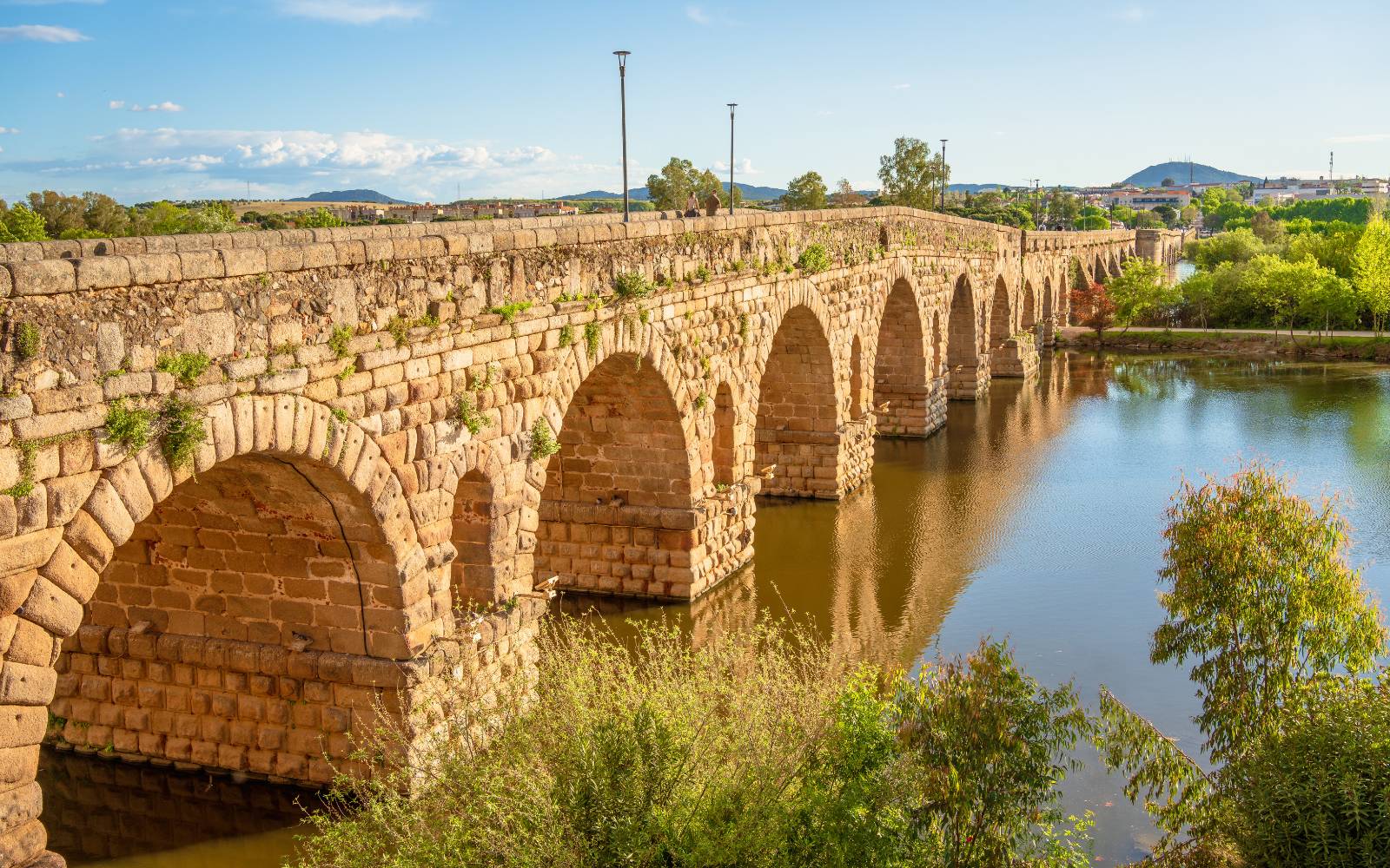
Mérida

Cáceres

Salamanca

Zamora

La Bañeza
More Information…
About the Silver Route
History
Road with history from Roman times, the Via de la Plata was a road used by the ancient Roman Empire to cross the west of Hispania from Mérida (Augusta Emérita) to Astorga (Artúrica Augusta). Therefore, the Silver Route became the main communication route of the western peninsula. Along the lower middle ages, it became the Jacobean route chosen to ascend from the south to the Galician capital.
After the recrystallization of the Mozarabic territories of the south, the Silver Route was artificially prolonged until it reached the south of the peninsula, although this slope had already been used to communicate Andalusia with the north. Almanzor plundered the bells of the Cathedral of Santiago in the 10th century, which caused the first massive affluence of this route, which forced Christian prisoners to carry them on their shoulders to the south, specifically to Cordoba. Although, after the reconquest of Al-Andalus, it was precisely the return of the same bells through this Way that laid the foundations for the massive pilgrimages from Andalusia and Merida to the north of the peninsula.
After reaching the north, the walkers had to take the decision to continue along the route of the French Way, once reached Astorga, or turn off earlier, specifically in Puebla de Sanabria, and shorten the remaining road to Galicia. This route is what became known as the Sanabrés Way.
Distances and elevation
Elevation Profile

There are many other routes, take a look below at the best alternatives:
Other recommended routes
804 km / 35 days
764 km / 33 days
119 km / 6 days
115 km / 5 days
304 km / 13 days
313 km / 14 days
Useful Information
Frequently asked questions about the Silver Route
As reflected in the stage section, The Silver Route Plata is made up of a total of 36 stages over a distance of 970 km starting from the Andalusian capital, Seville. If you do the Silver Route by Bike the number of stages will be 16.
If your goal is to achieve the Compostela, you must do at least the last 100 km of the Camino, in the case of this route you can do it from Sarria or Ourense, depending on the route you choose to get to Santiago. If you do the Camino by bike, the minimum distance is 200 km and, as before, depending on the route you choose, you can do it from Ponferrada or Lubián.
Along the southern route you will pass through a large number of towns, each with its own charm. However, there are a number of towns that fall in love with the pilgrims as they pass, these are: Seville, Merida, Caceres and Salamanca, among others.
The Silver Route is especially difficult in summer due to the high temperatures that occur at this time of year. Its origins date back to the Muslim conquest, when they sacked the Santiago Cathedral The silver route follows the same route that the bells of the Cathedral followed during these events.
In Pilgrim.es We have the most complete information about this way and many more. Enter our website and discover all the routes that make up the Camino de Santiago, its stages, maps and even the towns with their indications about what to see in each one.
Learn more about us
Helping pilgrims since 2016
Pilgrims
+54.000
Nationalities
+45
Google Rating
4,7 ★
Affiliated businesses
+7500


